Apple’s indoor mapping format is adopted as standard.
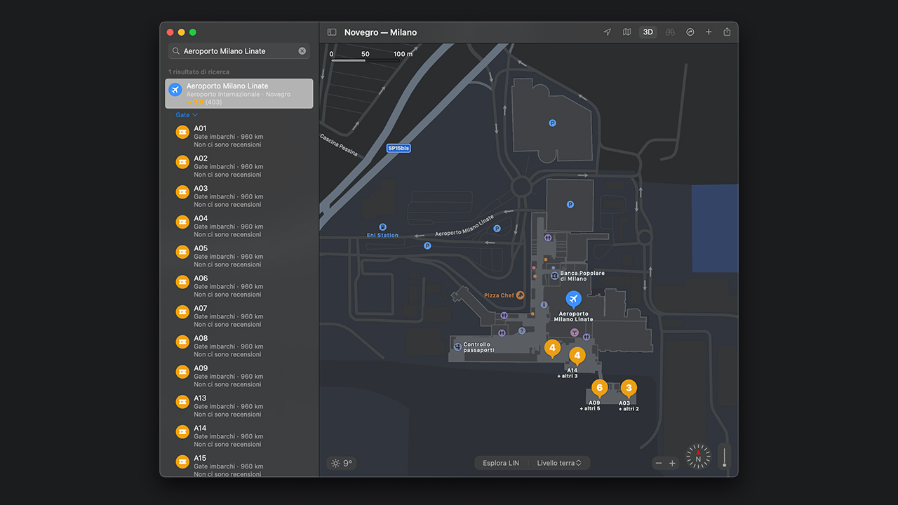
Apple’s Indoor Mapping Data Format (IMDF) has been adopted as the standard for indoor positioning services by the Open Geospatial Consortium.
Announced yesterday by Apple, IMDF has been accepted by the OGC as a community standard, paving the way for accurate internal positioning data across a variety of platforms.
“The OGC is thrilled to see the explosive growth in the use of IMDF as a simple means of describing internal spatial content,” said Scott Simmons, Chief Standards Officer at the Open Geospatial Consortium. “With IMDF now part of the OGC standards baseline, we look forward to deeper integration with other geospatial standards to meet localization needs everywhere.”
IMDF was developed by Apple to provide developers and other interested parties with the means to create custom internal maps protected by security and privacy controls. Examples of integrations include stadiums, airports, malls, school campuses, and more, some of which are already present in Apple Maps.

According to Apple, the format allows organizations to enable indoor positioning service on iPhones and iPads without installing additional infrastructure, such as beacons. Other internal mapping services require beacons or other hardware to function properly, making installation and maintenance complicated and inefficient.
The IMDF data model, which is based on Wi-Fi, is described as “mobile-friendly, compact, human-readable, time-aware and highly extensible” and is capable of providing users with a basis for orientation, navigation and discovery.

Recent Comments